Pilot Mountain, NC
History
Pilot Mountain is a town and a landmark. I know a little more about the town now that I have visited, but I still do not know much about the landmark. Both are located in southeast Surry County. This wonderful little town is thriving even though the railroad is no longer the center of commerce. Pilot Mountain is at an altitude of 1,100 feet.
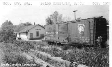
Here is a photo of the Pilot Mountain station circa unknown but most likely from the 1950s or later. The image is shown here courtesy of the North Carolina Collection, UNC Library at Chapel Hill.

This is a photo of the station circa 1918 from the ICC Valuation project. The ICC engineering notes suggest that the "construction similar in all respects to sta. at Dalton, NC." That means the station was 80’ long and 30’ wide with the freight section taking up 45’ of the length on one end and the passenger and agent’s section taking up the remaining 35 feet. A wood platform extended 6’ from the walls along the sides and 8’ from the end walls. The exterior was board and batten. The roof consisted of metal shingles over a 1" sheeting. The roof overhang was 6’ on the sides and 2’ on the ends. The interior floors were 7/8" tongue and groove for the passenger side and 2" plank for the freight side. The freight walls had 3’ 6" high surround of 1" boards. The freight room contained a 1 ton capacity standard Fairbanks single beam scale with a 3’ 8" square platform.
In addition to the station, in 1916, there were two dwellings, a bunk house, an outhouse with a shed roof, an oil house, and scrap bin.
The station is no longer near the railroad. According to residents spoken to during a visit in September 1999, the station was bought and moved to a local farm. Still trying to find out where.

During a 2001 visit, someone pointed out that there was a mural depicting the station on the wall of Carl’s Auto Service, a local business just off the main street (old Highway 52). Here is a photo of that mural (click on thumbnail for full size image). I have no idea who the artist was, but he/she definitely captured the feel of the area. Yes, that’s Pilot Mountain in the background. It really could be seen from the station in just about that direction!
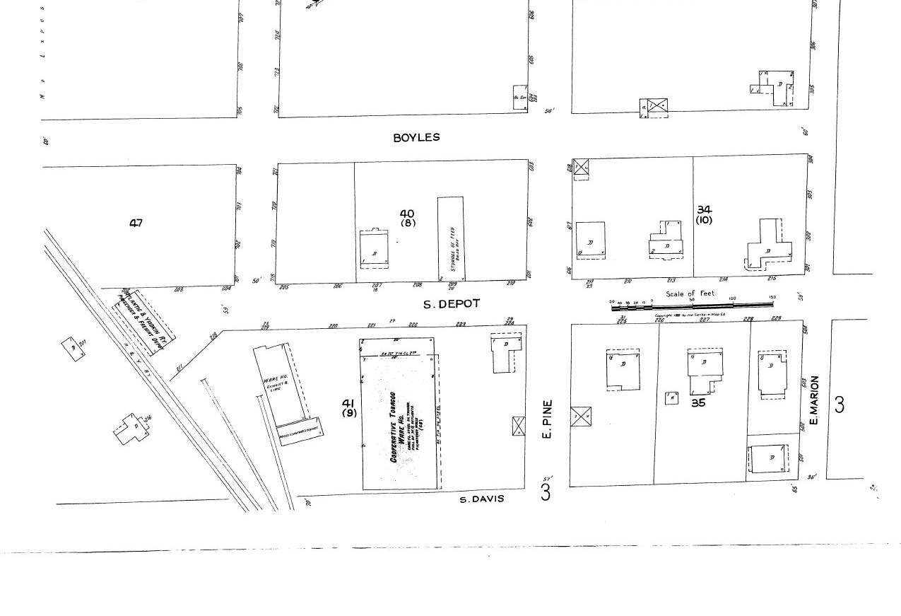
Track Diagram

The diagram indicates that the railroad was located on the outskirts of Pilot Mountain. Main Street was 2 blocks up the hill from the tracks. The A&Y timetable from the 1940s shows that there was a telephone located there. The sidings and spurs had a capacity of 26 cars.
Industries Shippers Guide 1916 & Sanborn Maps 1910, 1925
A Southern Railway Shippers Guide from 1916 indicates the following industries were located in Pilot Mountain and using the A&Y for delivering and receiving products by rail (although some may have used the station or team track rather than having a dedicated siding). Additional entries identified from the 1925 Sanborn fire insurance maps are marked ③.
| Industry Type | Goods Shipped / Rec’d | Company Name |
|---|---|---|
| flour and grist mill | flour | J. E. Stone & Co. |
| flour and grist mill | flour | W. Hiatt & Co. |
| grain and hay dealer | hay | W. H. Reid |
| grain and hay dealer | hay | J. W. Redman |
| grain and hay dealer | hay | O. N. Swanson |
| harness factory | harnesses | A. B. Harrell |
| planing mill | dressed lumber | Hiatt & Co. |
| sawmill | lumber | Yarborough & Beroth |
| sawmill | lumber | Job Hiatt |
| spoke and handle factory | ax, pick, hammer, canthook handles | Lovill & Revels |
| spoke and handle factory | ax, pick, hammer, canthook handles | Clifton Co. |
| steel and iron works, foundry, machine shop | general machine work | Lee Clifton |
| steel and iron works, machine shop | autos and machine work | Thore & Co. |
| tobacco warehouse | leaf tobacco | Co-operative Tobacco Warehouse ③ |
| tobacco warehouse | leaf tobacco | Farmers’ Tobacco Warehouse ③ |
| flour and feed mills | flour, feed | Pilot Milling Co. ③ |
| sawmill / handle factory | tool handles, lumber | Pilot Mountain Handle Co. ③ |
| lumber yard | lumber | W. R. Mitchell Lumber Co. ③ |
| cotton mill | cotton yarn / cloth | Pilot Mountain Cotton Mills ③ |
| tobacco leaf house | leaf tobacco | J. A. Tilly ③ |
| tobacco warehouse | leaf tobacco | Thomas Fancett ③ |
| fertilizer warehouse | fertilizer | Redman Bros. ③ |
| furniture manufacturer | furniture | K. Nicholson Furniture Co. ③ |
| tobacco factory | manufactured tobacco | Dodson Bros. ③ |
| tobacco factory | manufactured tobacco | Piedmont Tobacco Co. ③ |
③ Identified from Sanborn fire insurance maps; not in the original shippers guide source. Source: Sanborn Fire Insurance Maps, Pilot Mountain, N.C., January 1925 and May 1910 (Library of Congress).
Odds and Ends

Here is an image of the landmark, Pilot Mountain from the Railroad Archives located at Virginia Tech’s Newman Library. The mountain has an altitude of 2,700 feet. It is a monadnock, that is an isolated peak surviving from ancient mountains which have eroded away. The peak stands 1,500 feet above the surrounding countryside and served as a landmark for Indians and pioneer white settlers of the area. It has been called "Mount Ararat or the Stonehead" before being called Pilot Mountain. It was called Jomeokee, meaning "The Great Guide," by the Indians. The "Devil’s Den" on the mountain is a small grotto from which a steady breeze blows at all times. It is sometimes considered the easternmost peak of the Brushy Mountains.

Here is an image that I found and like. This one depicts some of the historic buildings in town. This image (used with permission) is of an afghan (1997) sold at The Knob Shop™ — 109 West Main Street, Pilot Mountain, NC 27041 — Limited Edition Afghans, Gifts and Custom Framing.