Maps
aps of the Danville & WesternIn the interest if conservig space on the server, I have reduced the size of many of these maps. If you need larger, more detailed versions, contact me and I will gladly send what information I have.
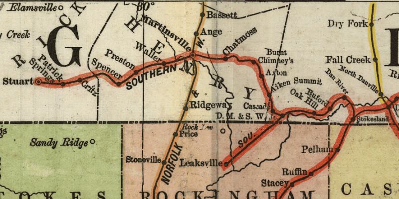
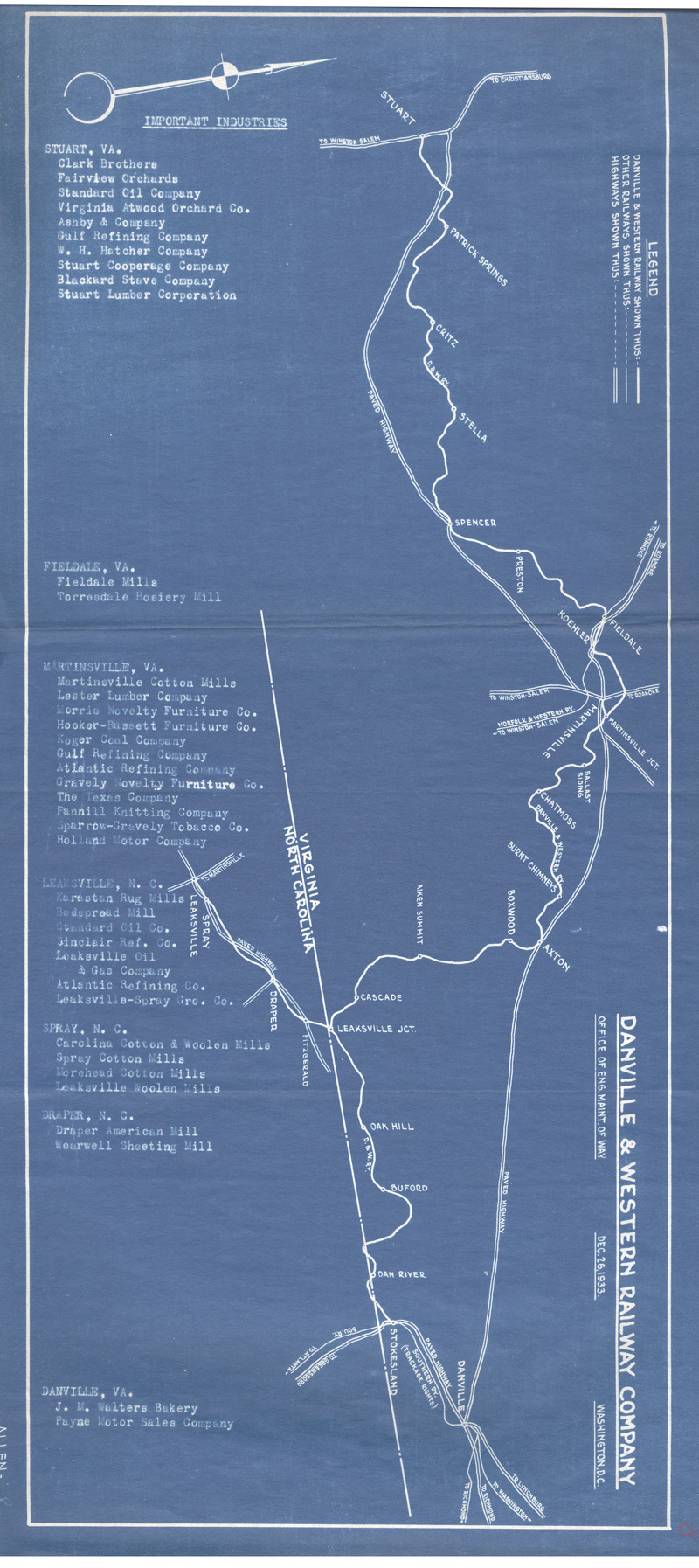
| Below are selected portions of the 1916 ICC valuation maps. Most of the full maps are not reproduced here because eventually we hope to publish a book which will include the ICC maps and entineering data. | |||
|---|---|---|---|
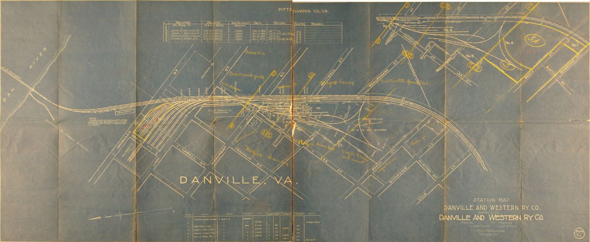 Danville | 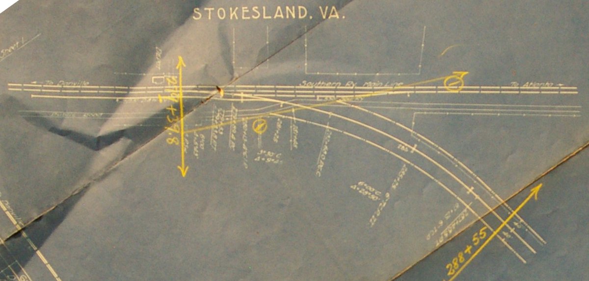 Stokesland | 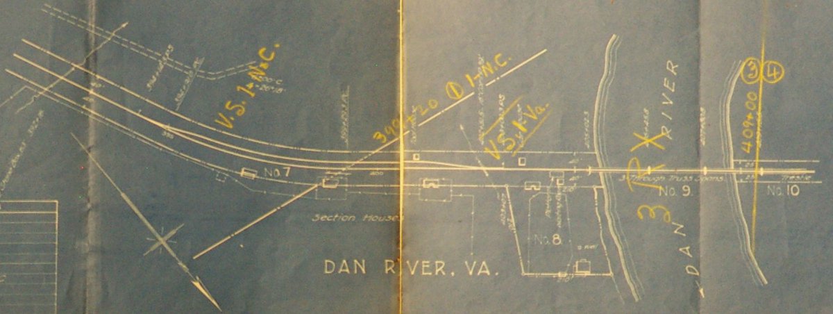 Dan River | 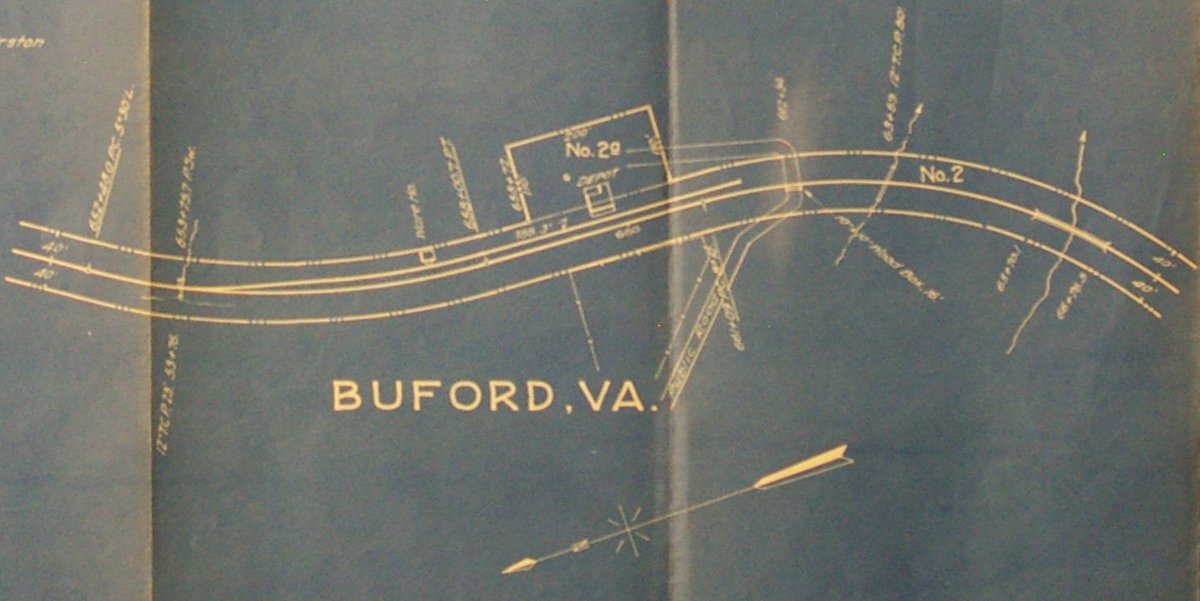 Buford |
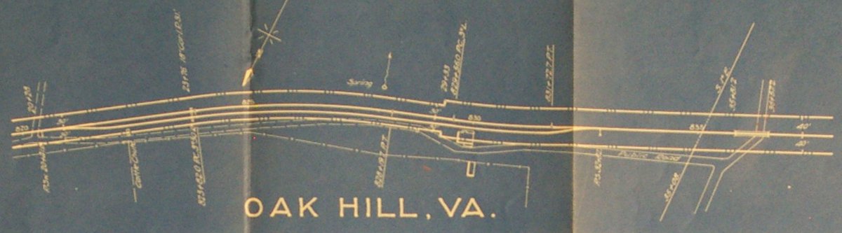 Oak Hill | 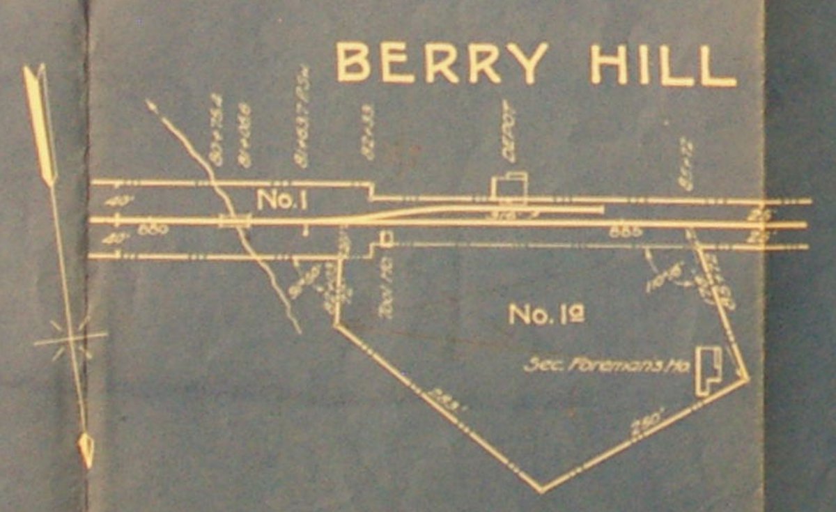 Berry Hill | 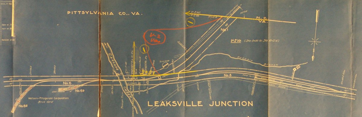 Leaksville Junction | 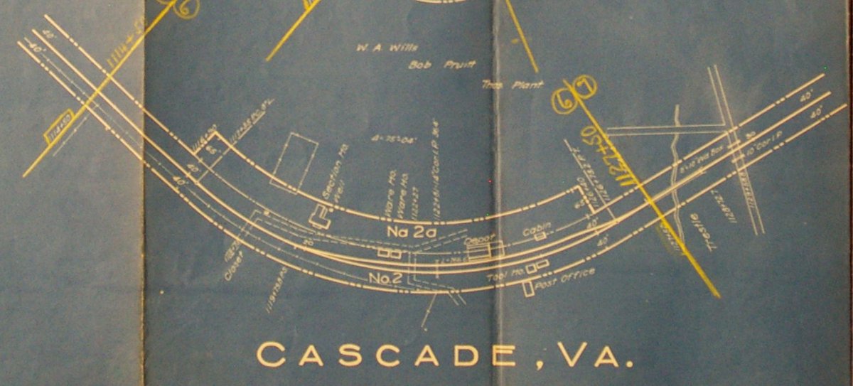 Cascade |
 Aiken Summit | 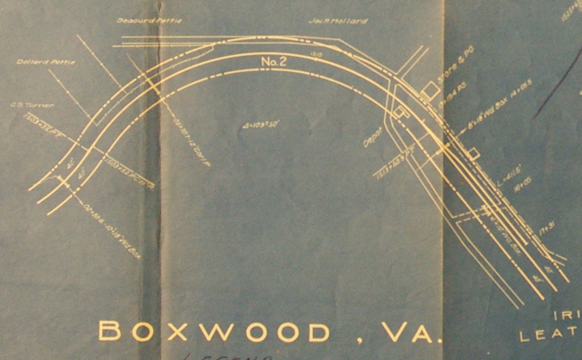 Boxwood | 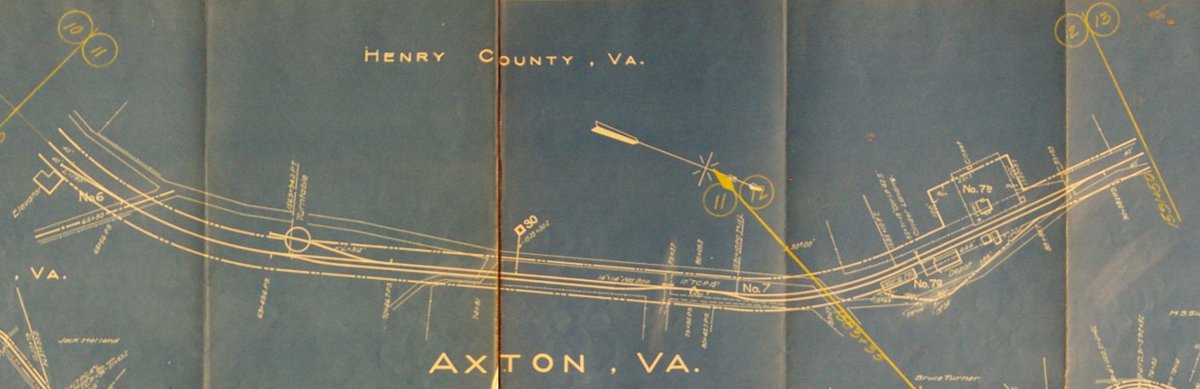 Axton |  Burnt Chimneys |
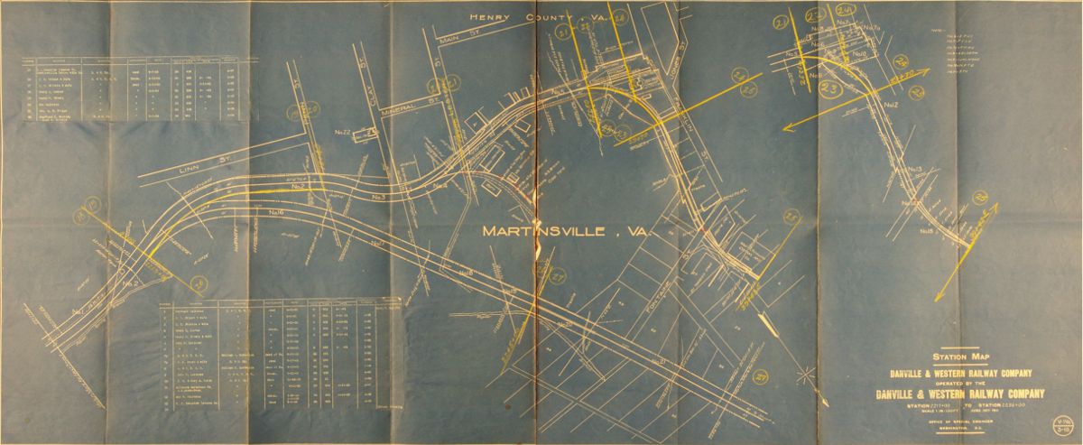 Martinsville | 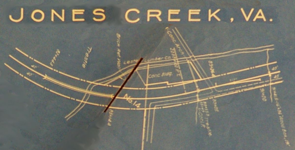 Jones Creek | 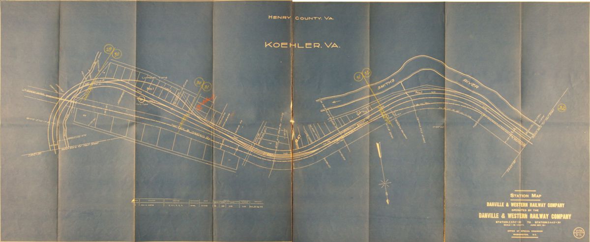 Koehler | 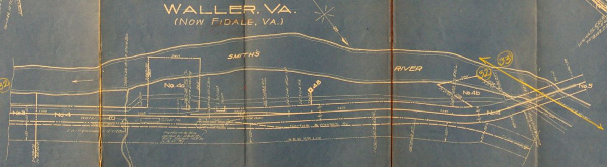 Waller (Fieldale) |
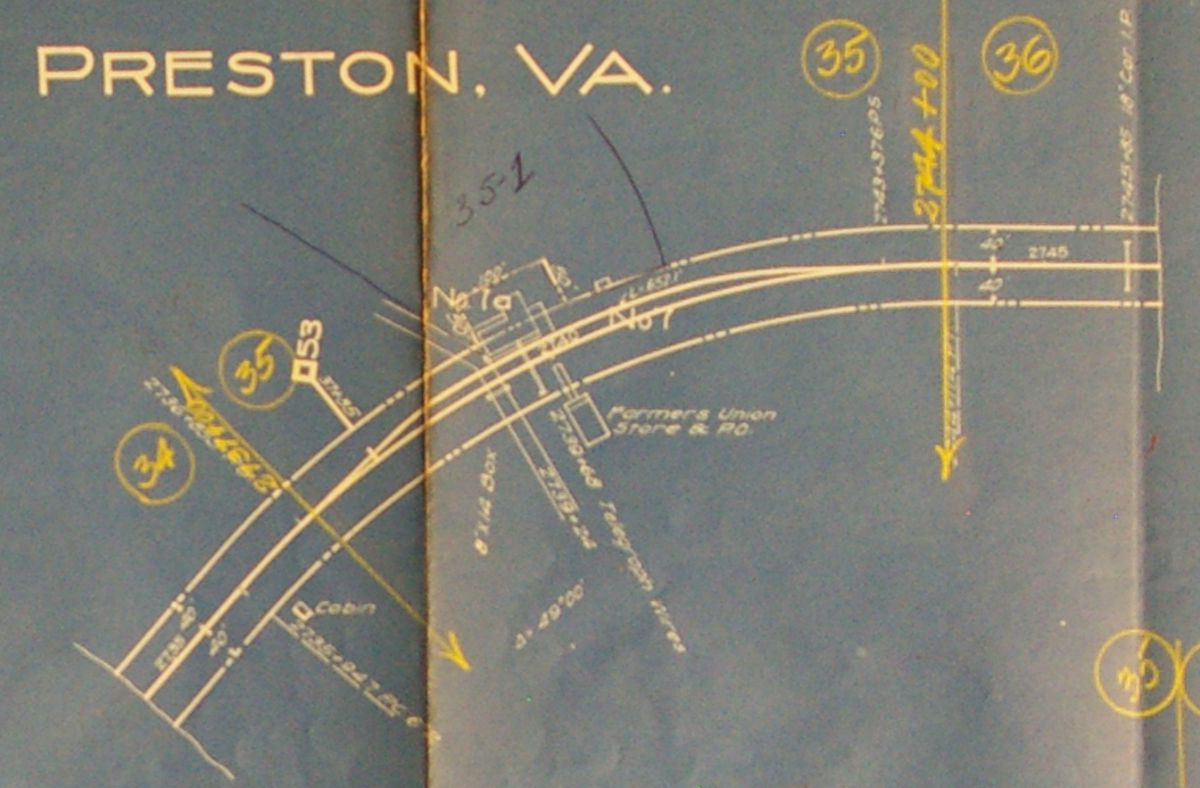 Preston | 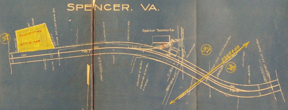 Spencer | 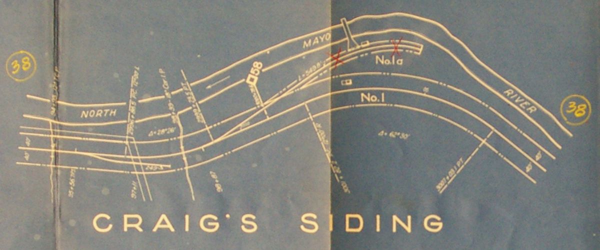 Craig's Siding | 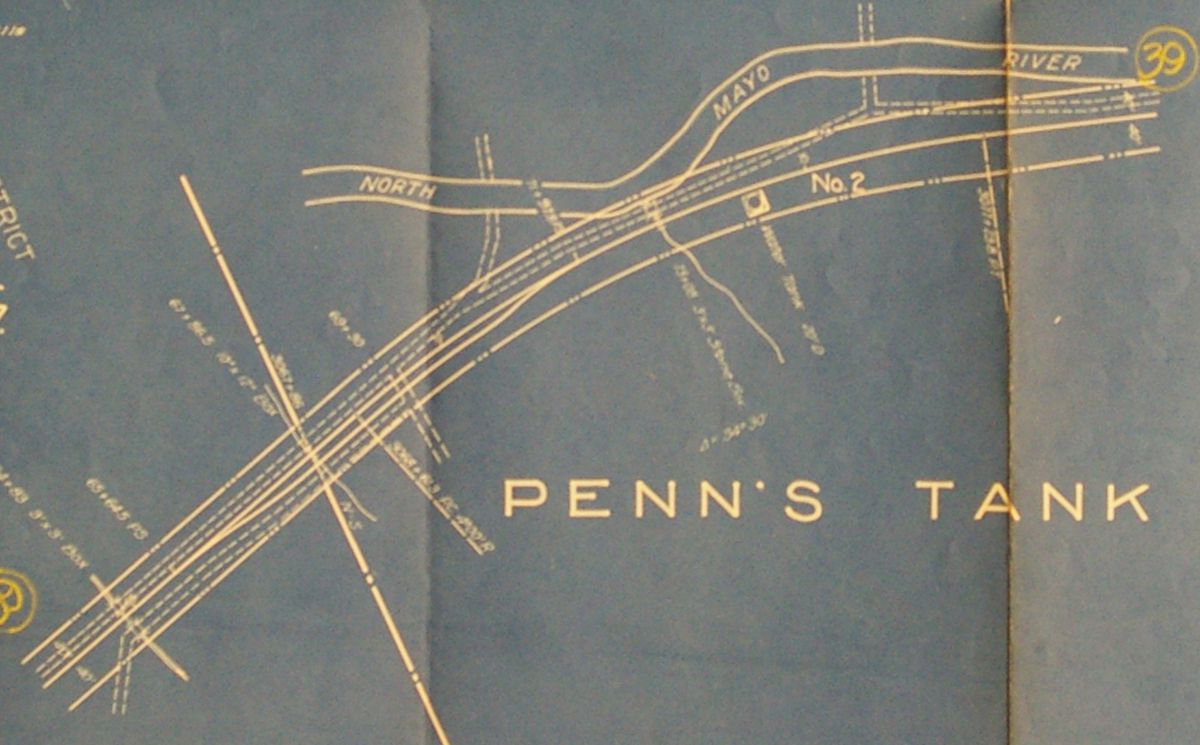 Penn's Tank |
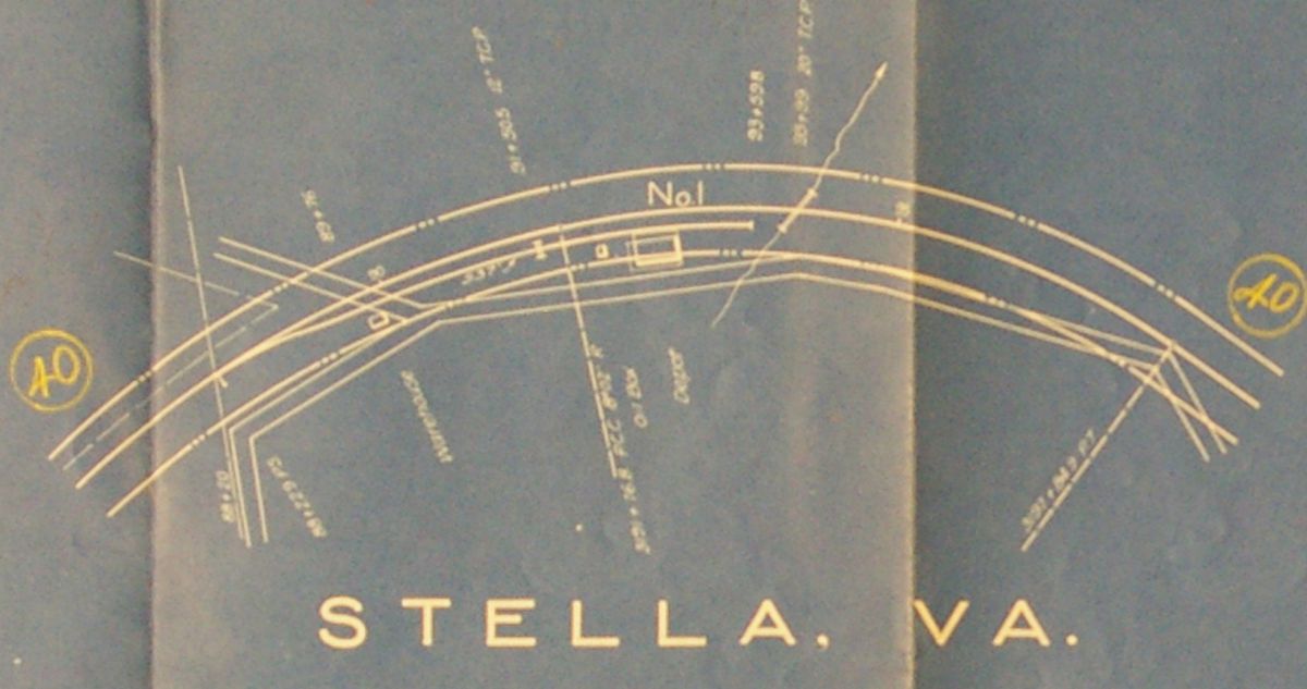 Stella | 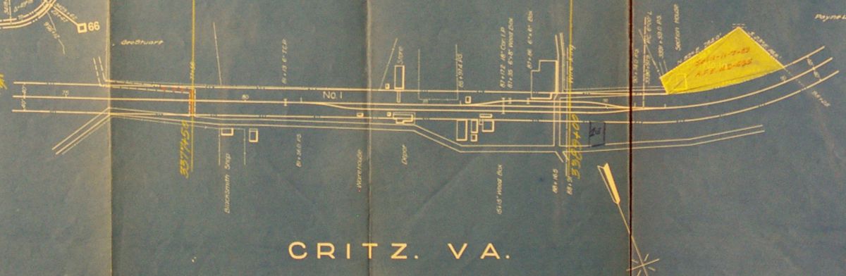 Critz | 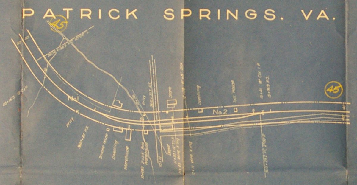 Patrick Springs | 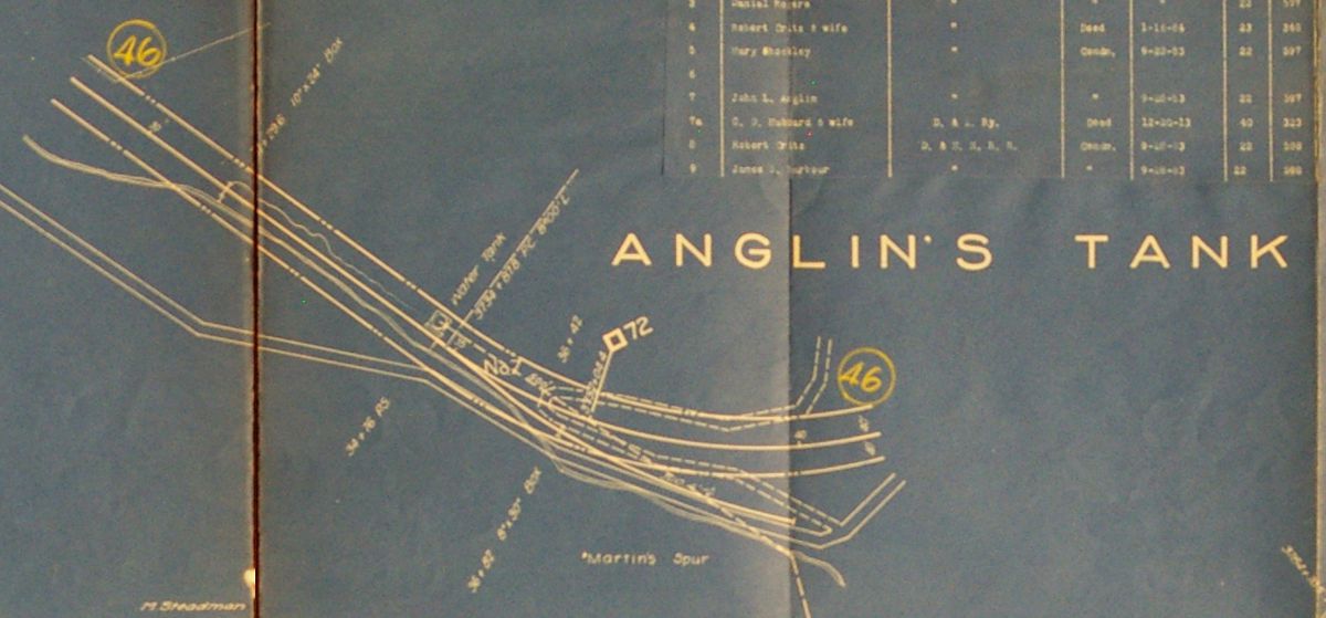 Anglin's Tank |
 Stuart | |||